Ilādṛṣṭi: Multispectral Wildfire
Semantic Segmentation
Engineered for high-precision autonomous wildfire perimeter delineation and burned area scar mapping. Combines 4-Band Transfer Learning with Focal-Tversky Loss Optimization to penetrate dense smoke hazes, resolve fine perimeter boundaries, and accelerate tactical disaster response and aerial retardant drops.
ResNet-50 U-Net & Focal-Tversky Loss
Resolving severe spatial class imbalance and smoke occlusion through multispectral weight transfer and gradient-focusing loss formulations.
Symmetrical 5-Stage U-Net Architecture
Standard optical segmentation models fail when wildfires occupy less than 5% of a satellite tile. Ilādṛṣṭi couples a deep ResNet-50 encoder with a customized 5-stage expansive decoder to retain fine perimeter details.
4-Band Initial Convolution Adaptation
Adapts ImageNet-pretrained weights to 4-channel input (Red, Green, Blue, NIR). The 4th NIR channel kernel is initialized via channel-wise mean averaging, preserving feature transfer without cold-start penalties.
Multi-Scale Residual Skip Connections
High-resolution feature maps from ResNet stages (C1, C2, C3, C4) are routed directly into the decoder stages, restoring thin fire breaks and boundary perimeters lost during downsampling.
Expansive Decoder with Double Convolutions
Each decoder stage applies bilinear upsampling followed by double 3x3 convolutions, Batch Normalization, and ReLU activations, terminating in a 1x1 logit projection head.
Focal-Tversky Loss
Standard Binary Cross-Entropy (BCE) treats every pixel equally, allowing overwhelming background pixels (95%) to suppress fire gradient updates. The Focal-Tversky Loss (FTL) penalizes False Negatives and concentrates learning on ambiguous boundary pixels.
Theoretical Guarantee: When γ > 1, easy confident predictions (TI → 1) generate near-zero loss, preventing background saturation and driving backpropagation updates into elusive firebreak margins.
Multispectral Inference & Comparison Slider
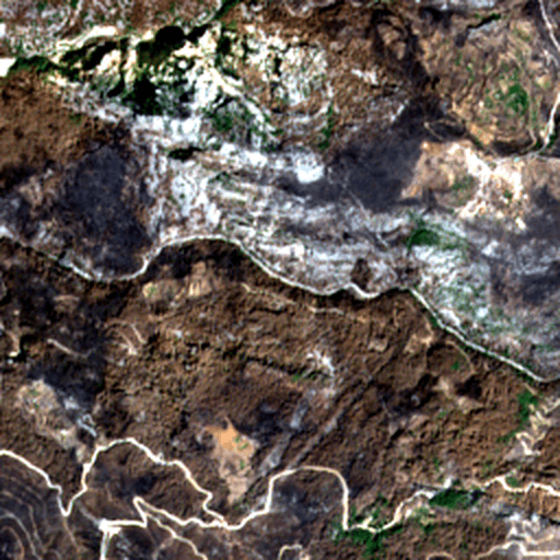
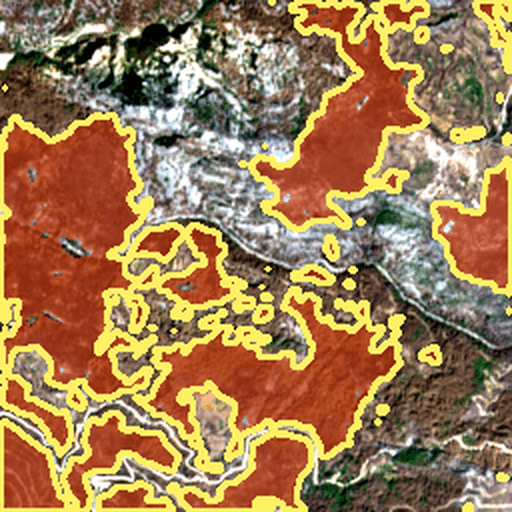
Drag the interactive divider to compare raw Sentinel-2 satellite inputs directly with Ilādṛṣṭi's predicted wildfire perimeter masks.
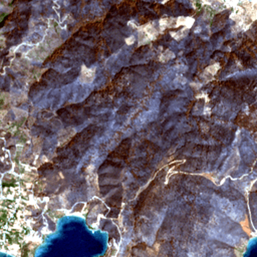
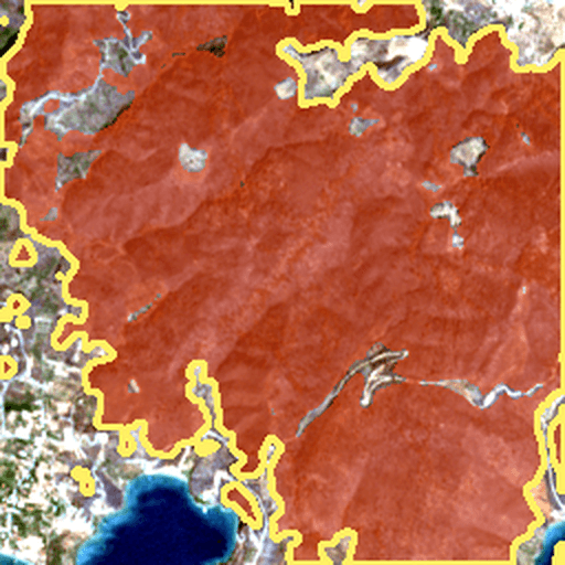
Mega-Fire Scar Complex (b__06_06.tif)
Boreal Pine Forest, Northern Mediterranean • Massive contiguous wildfire scar (>46,000 pixels burned) displaying near-perfect contour delineation and high model confidence.
Benchmark Evaluation Dashboard
Strict deterministic evaluation across an isolated held-out test split (Seed locked at 42). Comparing Mandatory Baseline (BCE) against Focal-Tversky across spectral configurations.
Model Architecture Benchmark (Held-out Test N=40)
Comparative test metrics comparing 4-Band BCE Baseline vs 3-Band and 4-Band Focal-Tversky configurations.
NIR Spectral Gain (3-Band vs 4-Band)
Quantifying the physical penetration gain enabled by the Sentinel-2 Band 8 (NIR, 842nm) channel.
15-Epoch Training Convergence Progression
AdamW Optimizer • Cosine Annealing LR (1e-4 → 1e-6) • Checkpointed at Peak Val Dice
Limitations & Optical Failure Analysis
Honest accounting of physical optical ambiguities, false positive triggers under extreme atmospheric conditions, and proposed architectural mitigations.
Transparent Negative Results Audit
While Ilādṛṣṭi demonstrates high accuracy across standard vegetative wildfire regimes, optical satellite systems suffer from physical photon scattering ambiguities where non-fire phenomena exhibit spectral signatures resembling carbonized ash.
1. Dense Clouds & Edge Diffraction
High-albedo cloud tops reflect >85% of visible and NIR solar radiation. At cloud edges, sharp dropoffs create extreme spatial gradients that convolutional filters occasionally mistake for fresh fire perimeters.
Fringe false alarm rings bordering thick stratocumulus banks (demonstrated in Scene a1__07_13 with 13,269 FP pixels).
2. Deep Mountain Ravine Shadows
Steep north-facing alpine ravines receive minimal direct solar irradiance. Low reflectance values (<0.05 across RGB and NIR) deceptively mimic the flat, dark optical absorption profile of charcoal ash.
Localized false positive clusters in deep mountain gorges (demonstrated in Scene k__4_6 with 7,211 FP pixels).
3. Low-Biomass Grassland Scars
Fast-moving savanna grass fires leave only ephemeral surface soot without deep canopy destruction. Wind rapidly scatters the light ash layer within 48 hours, causing spectral signatures to revert before satellite revisit.
Under-segmentation (False Negatives) for thin pasture fires compared to dense coniferous forest burns.
Empirical Failure Showcase: Cloud Boundary & Shadow False Positives
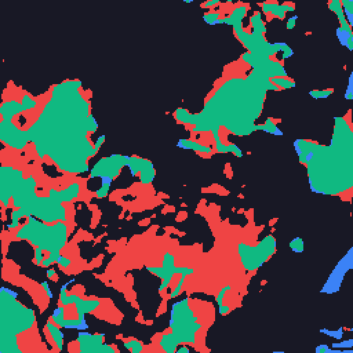
Direct inspection of actual test samples where optical limitations triggered false alarms (Scene a1__07_13):